August 30, 2023 10:30 a.m.
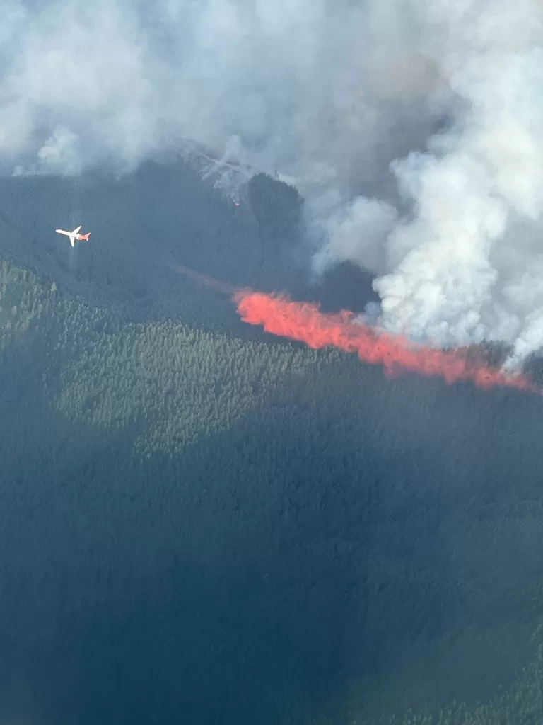
Firefighters expect active fire behavior to continue on the Tyee Ridge Complex, burning 20 miles northwest of Roseburg.
It is now listed at 4,876 acres and is 5 percent contained. 1093 people are assigned to the fires.
An update from the Northwest Incident Management Team 1 and the Oregon State Fire Marshal’s Red Team said early Wednesday crews made progress in some areas but faced challenged in others. The Hardscrabble, Blue Hole, Yellow Point and Big Tom fires continue to be in mop up. Tactical firing operations occurred on the Big Tom fire until early Wednesday. The Lighthouse 3 Fire reached 656 acres. The Cougar Creek Fire grew to the south at Day Creek and to the northeast, reaching 3,965 acres. Crews worked to hold and establish line and mop up spot fires throughout the night. Strong coordination between wildland resources and structural task forces protected homes on Hubbard Creek Road.
Warmer temperatures and drier conditions are expected Wednesday. Fuels remain dry and ready to ignite. Rolling material and snags may create slopovers across lines. Firefighters will likely encounter backing and flanking, with the potential for isolated uphill runs and short-range spotting in the afternoon. Clear and sunny weather conditions will drive this behavior, but may allow for air resources to engage. Seventeen aircraft will be available including Single Engine Air Tankers and helicopters.
Crews are working to line and hold fires whenever possible. Task forces will mop up around residences on Hubbard Creek Road, conduct structural protection on Briarwood Road and scout opportunities for structure protection on Cole Road, east of the Lighthouse fires. Starting Thursday, weather conditions are likely to become cooler with showers in the forecast.
All evacuation notices issued by the Douglas County Sheriff’s Office remain unchanged. The Red Cross shelter for evacuees remains open at The Way Church on East Central Avenue. To view the current evacuation map, go to www.dcso.com/evacuations.

