September 7, 2023 10:30 a.m.
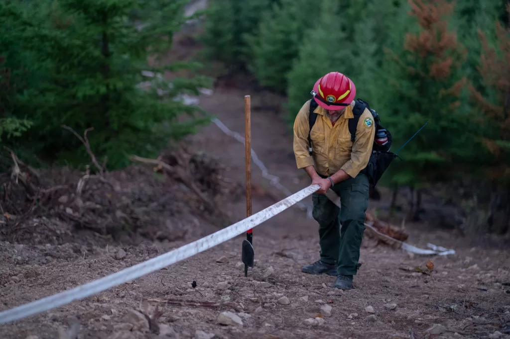
Drone flights on the Cougar Creek Fire are capturing infrared footage on the western perimeters, identifying targets for firefighters to mop up, in the Tyee Ridge Complex, 20 miles northwest of Roseburg.
The complex is listed at 7,445 acres and is 38 percent contained. 1,707 people are assigned to the fires.
An update from the Northwest Incident Management Team 1 said crews near Grier Reservoir secured and held lines where firing operations also took place from the previous shift. Firefighters patrolled ridge lines and roads on the eastern portion of the Cougar Creek Fire. Night crews on the Lighthouse Fire secured and tightened lines on the western corner where firing operations took place on Wednesday.
Slightly cooler temperatures and higher humidity will minimize the window for tactical firing operations. On the Cougar Creek Fire, crews will be mitigating snag hazards near Cougar Creek to ensure safety during mop up operations. On the southern portion and along Hubbard Creek Road, crews are ensuring integrity of control lines around structures, securing areas of previous firing operations and mopping up further into the fire’s interior. On the southeast perimeter of the Lighthouse Fire, sprinkler systems are being installed to enhance mop up in steep terrain.
View current evacuation information and get more Tyee Ridge Complex details at:
https://www.facebook.com/tyeeridgecomplex