December 15, 2022 10:35 a.m.
Six new electronic message signs on northbound Interstate 5 will inform travelers about changing conditions and help regulate speeds on the highest summit on the Interstate 5 corridor.
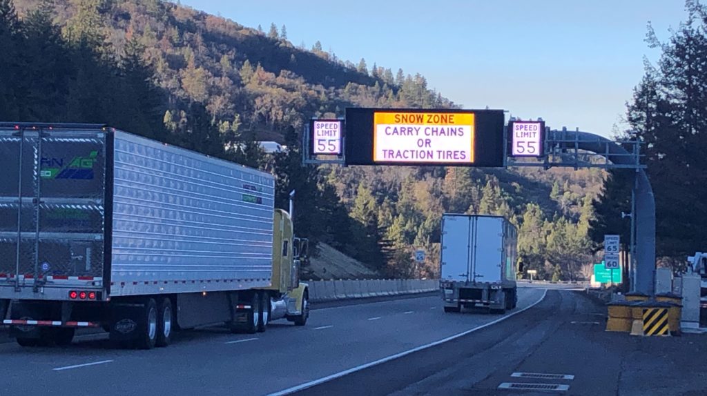
Gary Leaming of the Oregon Department of Transportation said the signs are located between the Oregon-California border and Ashland, and will be live by the start of the new year.
Leaming said three of the signs can show drivers a legally-enforceable lower speed limit. Computers will automatically adjust speed limits displayed on the electronic, black-on-white speed signs based on weather and pavement conditions on the summit. Leaming said the computers gather information from sensors that can measure factors like road surface traction, humidity, air temperature and visibility.
When conditions improve, speed limits will be automatically raised again.
ODOT District Manager Jeremiah Griffen said, “Drivers going too fast for the changing conditions often get surprised on the Siskiyou Summit”. Griffen said, “High speeds frequently lead to crashes and delays, no matter what time of year. These new variable speed signs will be an important safety tool”.
The ODOT release said that data from the Federal Highway Administration shows variable speed limits reduce the number and severity of crashes, especially in bad weather.
In addition to the variable speed signs, there are two dynamic “curve warning” signs. They show drivers their speed as they approach two sharp curves near the Mt. Ashland exit and a railroad trestle. The signs are similar to ones on the freeway at the Myrtle Creek curves.
The new signs were installed as part of the recent $35 million interstate improvements project between the California border and Ashland.
Travelers can get the latest road conditions at www.tripcheck.com.